
Tabula Peutingeriana – Einzelanzeige
| Toponym TP (aufgelöst): | Ad Matricem |
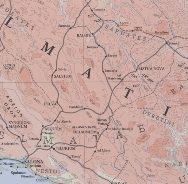
| Name (modern): | Otinovci |
| Bild: | 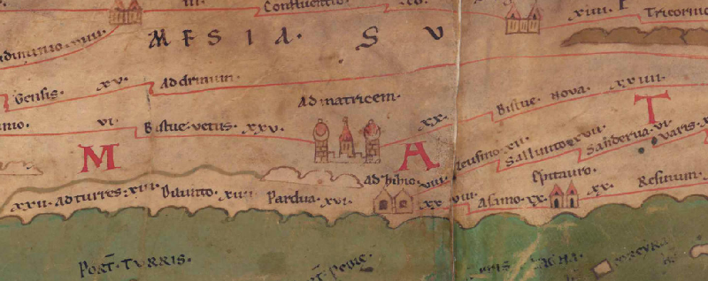 Zum Bildausschnitt auf der gesamten TP |
| Toponym vorher | XXV Bistuae vetus (Bistuae Vetus) |
| Toponym nachher | XX Bistue nova (Bistuae Nova) |
| Alternatives Bild | --- |
| Bild (Barrington 2000) |
 |
| Bild (Scheyb 1753) | --- |
| Bild (Welser 1598) | --- |
| Bild (MSI 2025) | --- |
| Pleiades: | https://pleiades.stoa.org/places/197071 |
| Großraum: | Balkanraum nördlich |
| Toponym Typus: | Ortsname mit Symbol |
| Planquadrat: | 5A5 |
| Farbe des Toponyms: | schwarz |
| Vignette Typus : | G Sondervignette |
| Itinerar (ed. Cuntz): |
|
| Alternativer Name (Lexika): |
|
| RE: | ad Matricem |
| Barrington Atlas: | Ad Matricem (20 E5) |
| TIR / TIB /sonstiges: |
|
| Miller: | Ad Matricem |
| Levi: | Ad matricem (G) |
| Ravennat: |
|
| Ptolemaios (ed. Stückelberger / Grasshoff): |
|
| Plinius: |
|
| Strabo: |
|
| Autor (Hellenismus / Späte Republik): |
|
| Datierung des Toponyms auf der TP: | frühe Kaiserzeit (einschließlich Flavier) |
| Begründung zur Datierung: |
|
| Kommentar zum Toponym: |
Einziger Beleg des Ortsnamens. |
| Literatur: |
Bojanovski, Ivo: Bojanovski, Dolabelin sistem cesta u rimskoj provinciji Dalmaciji / Dolabellae systema viarum in provincia romana Dalmatia, Djela ANUBiH 47, Sarajevo 1974, 167. |
| Letzte Bearbeitung: | 01.01.2025 17:11 |
Cite this page:
https://tp-online.ku.de/trefferanzeige.php?id=754 [zuletzt aufgerufen am 21.07.2026]