
Tabula Peutingeriana – Pantalla individual
| Topónimo (simplificado): | Vallio |
| Nombre (moderno): | Toul |
| Imagen: | 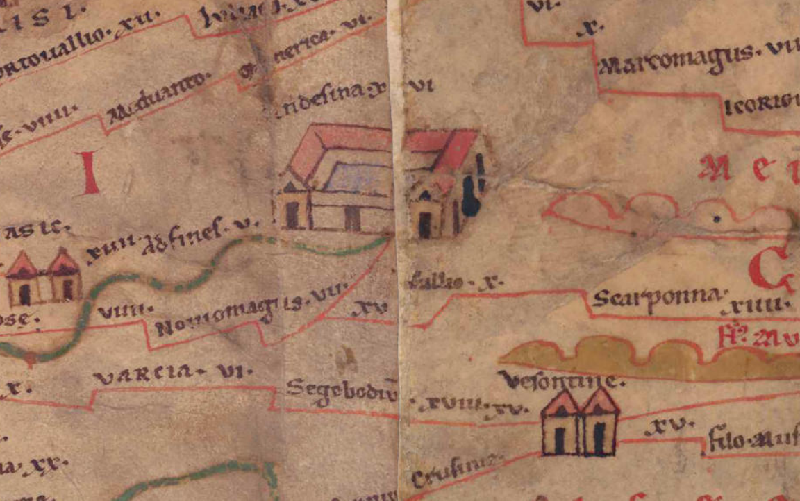 Al detalle de la imagen |
| Topónimo antes | XV (?) Nouiomagus (Noviomagus) |
| Topónimo después | X Scarponna |
| Imagen alternativa | --- |
| Imagen (Barrington 2000) |
 |
| Imagen (Scheyb 1753) | --- |
| Imagen (Welser 1598) | --- |
| Imagen (MSI 2025) | --- |
| Pleiades: | https://pleiades.stoa.org/places/109396 |
| Área: | Galia/Germania |
| Tipo de topónimo: | Topónimo sin símbolo |
| Cuadrícula: | 1A5 / 2A1 |
| Color del topónimo: | negro |
| Tipo de viñeta: | --- |
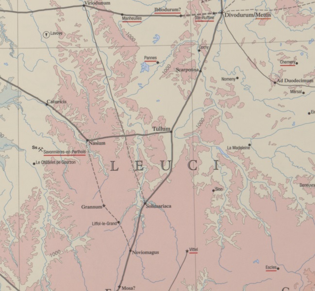
| Itinerario: | Tullum (365,4) |
| Nombres alternativos (diccionarios): | Tullum (DNP) |
| Nombre A (RE): | Tullum (Tullium) Leucorum - http://elexikon.ch/RE/VIIA,2_1337.png |
| Nombre B (Barrington Atlas): | Tullum (11 F4) |
| Nombre C (TIR / TIB /otros): |
|
| Nombre D (Miller): | Tullio |
| Nombre E (Levi): |
|
| Nombre F (Ravenate): |
|
| Nombre G (Ptolemaios): | Τοῦλλον (Τούλλιον) (2,9,13) |
| Plinius: |
|
| Strabo: |
|
| Datación del topónimo en la TP: | --- |
| Fundamento para la datación: |
|
| Comentario al topónimo: |
Kommentar (Talbert): |
| Bibliografía: |
Desjardins, Table, p. 19, col. 1, no. 2. |
| Última elaboración: | 07.01.2026 17:58 |
Cite this page:
https://tp-online.ku.de/trefferanzeige_es.php?id=3370 [zuletzt aufgerufen am 18.04.2026]