



Tabula Peutingeriana – Einzelanzeige
| Toponym TP (aufgelöst): | Lacus [N.N.] |
| Name (modern): |
|
| Bild: | 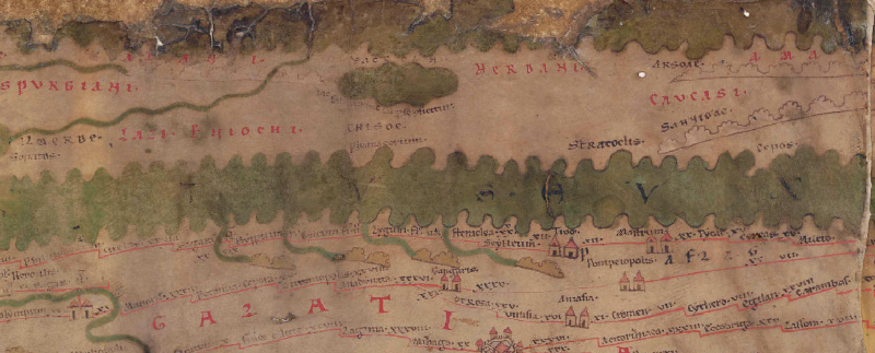 Zum Bildausschnitt auf der gesamten TP |
| Toponym vorher | |
| Toponym nachher | |
| Alternatives Bild |
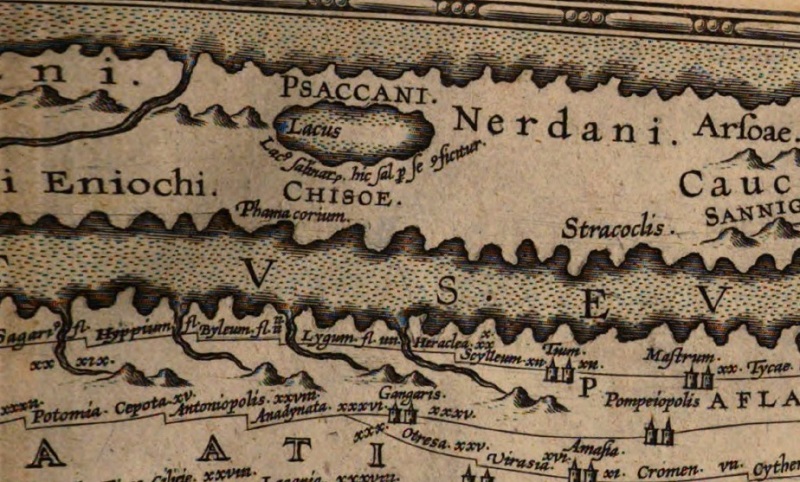 |
| Bild (Barrington 2000) | --- |
| Bild (Scheyb 1753) | --- |
| Bild (Welser 1598) | --- |
| Bild (MSI 2025) | --- |
| Großraum: | Asien östl. d. Maiotis (Asowsches Meer), nördl. d. Taurus |
| Toponym Typus: | Wasser (ohne Flussname) |
| Planquadrat: | 8A4 |
| Farbe des Toponyms: | schwarz |
| Vignette Typus : | --- |
| Itinerar (ed. Cuntz): |
|
| Alternativer Name (Lexika): |
|
| RE: |
|
| Barrington Atlas: |
|
| TIR / TIB /sonstiges: |
|
| Miller: |
|
| Levi: |
|
| Ravennat: |
|
| Ptolemaios (ed. Stückelberger / Grasshoff): |
|
| Plinius: |
|
| Strabo: |
|
| Autor (Hellenismus / Späte Republik): |
|
| Datierung des Toponyms auf der TP: | --- |
| Begründung zur Datierung: |
|
| Kommentar zum Toponym: |
Kommentar (Talbert): |
| Literatur: |
Miller, Itineraria, Sp. 958; |
| Letzte Bearbeitung: | 22.10.2023 08:57 |
Cite this page:
https://tp-online.ku.de/trefferanzeige.php?id=2343 [zuletzt aufgerufen am 03.10.2026]